I'll be honest: I avoided the Coronado Trail for years because everyone I asked about it said the same two things — "It's incredible" and "It takes forever." Both turn out to be true. The first time my husband and I finally drove it, in October 2021 with a thermos of coffee and a stack of John Prine CDs, we left Clifton at 8 AM thinking we'd be in Alpine by lunchtime. We rolled into the Bear Wallow Café at 1:30 PM, tired and slightly carsick, and ordered the biggest cheeseburgers on the menu. It was one of the best days of driving I've ever done.
US-191 between Clifton and Alpine is 123 miles. It is paved the entire way. It has, by various counts, somewhere between 460 and 600 numbered curves. AAA has listed it as one of the least-traveled paved roads in the country, and on a weekday in shoulder season you can drive forty miles without passing another vehicle. It is also genuinely demanding. Here's how to plan it so it lands as a highlight, not a slog.
The route in plain English
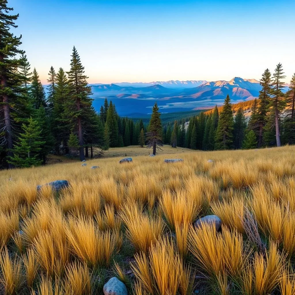
South to north is the better direction for most people, mostly because the climb pays off visually and you don't end your day staring down twelve miles of switchbacks into Clifton. Start in Clifton (elevation 3,500 feet, copper-mining town, surprisingly photogenic), climb past the Morenci copper mine — the largest open-pit copper mine in North America and one of the most surreal sights in Arizona — then ascend through pinyon-juniper, into ponderosa pine, and finally into mixed-conifer forest around Hannagan Meadow at 9,100 feet. From there it's a gentle high-country roll into Alpine.
Total drive time: 4.5 to 5 hours of actual driving for 123 miles. That is not a typo. Average speed on the byway is under 30 mph because of the switchbacks. Add stops and lunch and you're looking at a full day. Don't try to do it as a side trip on the way somewhere else.
Fuel and food — please plan this carefully
This is the part of the drive that gets people in trouble. There is no gas between Morenci and Alpine. That's 113 miles of mountain driving in low gear, which eats more fuel than you think. Fill up in Clifton or Safford on the south side, and Alpine or Springerville on the north. If your tank gauge looks even slightly low when you leave, top off again at Morenci before you start climbing.
Cell service is essentially nonexistent for the middle 80 miles of the drive. Download offline maps before you leave. Tell someone your plan. The midway dispatch tower at Hannagan Meadow has limited connectivity but you cannot count on it. Food: a small store at Hannagan Meadow Lodge (mile 87 from Clifton) sells sandwiches, coffee, and basic snacks — that's the only food stop in the middle. Pack a lunch. The lodge restaurant is excellent but has limited hours, often closed midweek in shoulder season.
- Fill up in Clifton, Safford, Alpine, or Springerville — nowhere in between
- No fuel for 113 miles between Morenci and Alpine
- Hannagan Meadow Lodge store — only midway food
- Cell service: essentially none. Download offline maps.
- Snow occasionally closes the road December through March — check ADOT
- RVs over 30 feet and trailers: choose a different route, seriously
The stops actually worth pulling over for
Morenci Mine Overlook (around mile 8) is the first jaw-drop of the day — a gigantic terraced pit that looks almost lunar, with house-sized haul trucks crawling along the benches looking like ants. The overlook has interpretive signs, restrooms, and a viewing platform. Even people who think they don't care about copper mining stand here for fifteen minutes.
Blue Vista Overlook (around mile 35) is the visual centerpiece of the drive. The view stretches 80 miles south and east into the Blue Range Primitive Area, one of the most remote wilderness areas in the Lower 48. There's a small parking pull-out, a stone overlook wall built by the CCC, and on a clear day you can see ridge after ridge all the way to New Mexico. I sat there for twenty minutes the first time and didn't see another car.
Hannagan Meadow (around mile 87) is the big high-alpine meadow at the top of the drive, with the historic lodge, hiking trailheads, and aspen groves that go gold in late September. KP Cienega (around mile 95) has a short picnic trail. Alpine itself is a tiny mountain village with a couple of good restaurants, a fly fishing scene on the Black River, and the Bear Wallow Café for that post-drive cheeseburger.
When to drive it
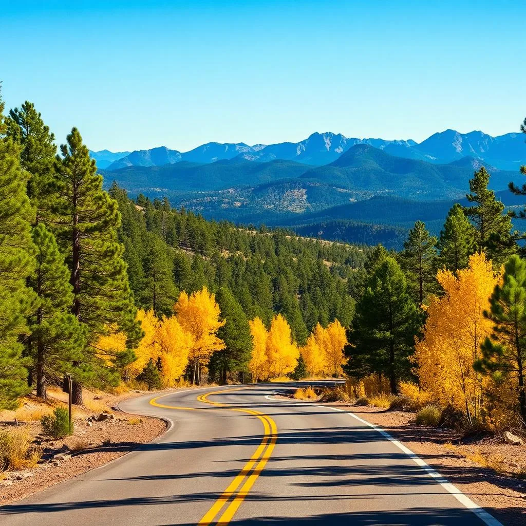
September through early October is peak season, and there's a reason: the aspens above 7,500 feet turn brilliant gold, the weather is stable, the monsoon is over, and the daytime temps are perfect. The downside is that this is the only crowded window of the year — you'll actually share Blue Vista with other people.
May and June are nearly as good and far quieter, with the high country at its greenest. I avoid July monsoon afternoons (lightning at altitude is genuinely dangerous and there's nowhere to shelter at Blue Vista) and December through March (snow, occasional closures, and the kind of black ice on switchbacks that ends road trips). If you can only go in winter, go on a sunny day after the road has been clear for at least 48 hours, and turn around if anything feels wrong.
Where to sleep if you don't want to drive home
Hannagan Meadow Lodge has rustic but charming rooms and a few cabins; book 6–8 weeks out for fall color. Alpine has the Tal-Wi-Wi Lodge and a handful of VRBOs. Springerville (45 minutes north of Alpine) has chain hotels if you just need a bed. My favorite move: drive the byway south-to-north on day one, sleep in Alpine, then loop home through Show Low and the Salt River Canyon on day two. That turns it into a two-day road trip you'll remember.
Frequently asked questions
How long does the Coronado Trail take to drive?
4.5 to 5 hours of actual driving for 123 miles, plus stops. Plan a full day and don't try to fit it in around anything else.
Is the Coronado Trail scary to drive?
It's demanding but not technical — paved the whole way, well-engineered switchbacks, and very little traffic. The main challenges are the relentless curves and the length. RVs over 30 feet and trailers should choose a different route.
Where can I get gas on the Coronado Trail?
Clifton or Morenci on the south end and Alpine on the north. There is no fuel in between for 113 miles. Top off both ways.
Can you drive the Coronado Trail in winter?
Sometimes. The road is plowed but can close briefly after storms, and black ice on switchbacks is a real hazard. Check ADOT before going and drive only on clear days when the road has been dry for 48 hours.