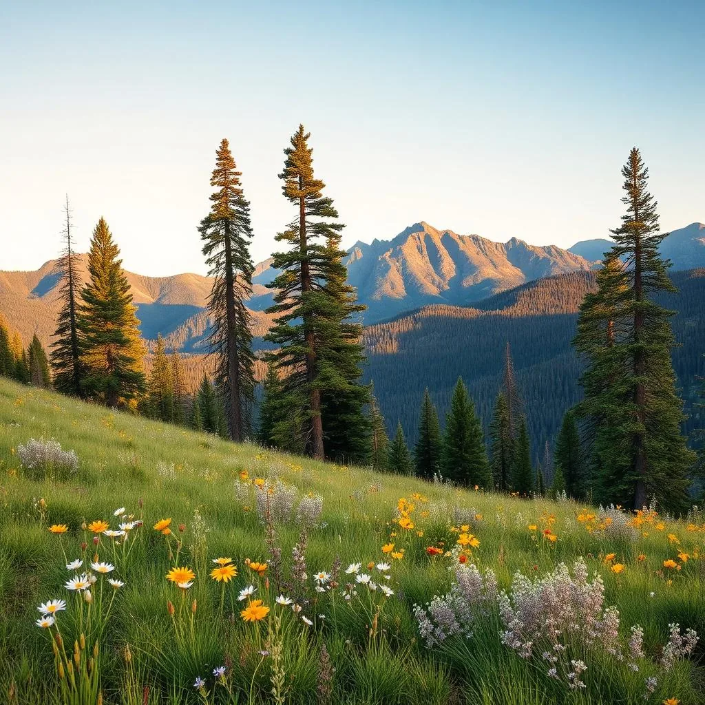
When Phoenix hits 115°F, you have three real options: leave town, hide indoors for three months, or go up. Up means Pinetop-Lakeside and Show Low — adjacent White Mountains towns at 7,000 feet that sit a steady 30 degrees cooler than the Valley all summer, surrounded by ponderosa pine forest, trout lakes, and elk meadows.
Here's the long weekend.
The drive (and where to break it)
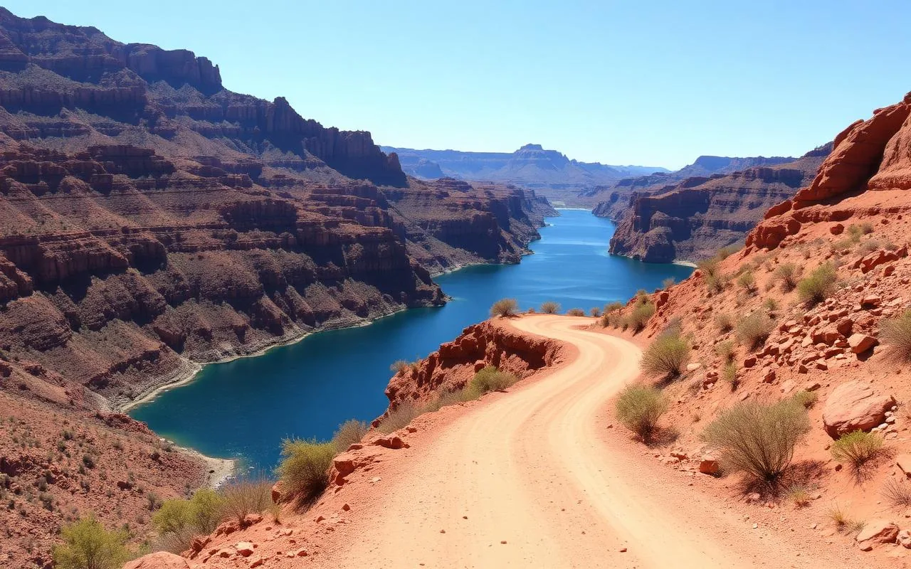
Phoenix to Pinetop is 195 miles, about 3.5 hours via US 60 east through Globe, then up the Salt River Canyon on US 60. The Salt River Canyon overlook (about 2 hours in) is a worthwhile 20-minute leg-stretch — the road climbs out of a 2,000-foot gorge that most Arizonans have never seen.
Where to stay
The traditional move is a rented cabin — vrbo and airbnb both have dozens of legitimate options under $250/night in shoulder season. For a hotel, Hon-Dah Resort (Apache-owned, 10 min south of Pinetop) and the Northwoods Resort cabins in Pinetop itself are both reliable. Avoid the chain motels on Highway 260 — they're the cheapest option for a reason.
The lakes (which to pick)
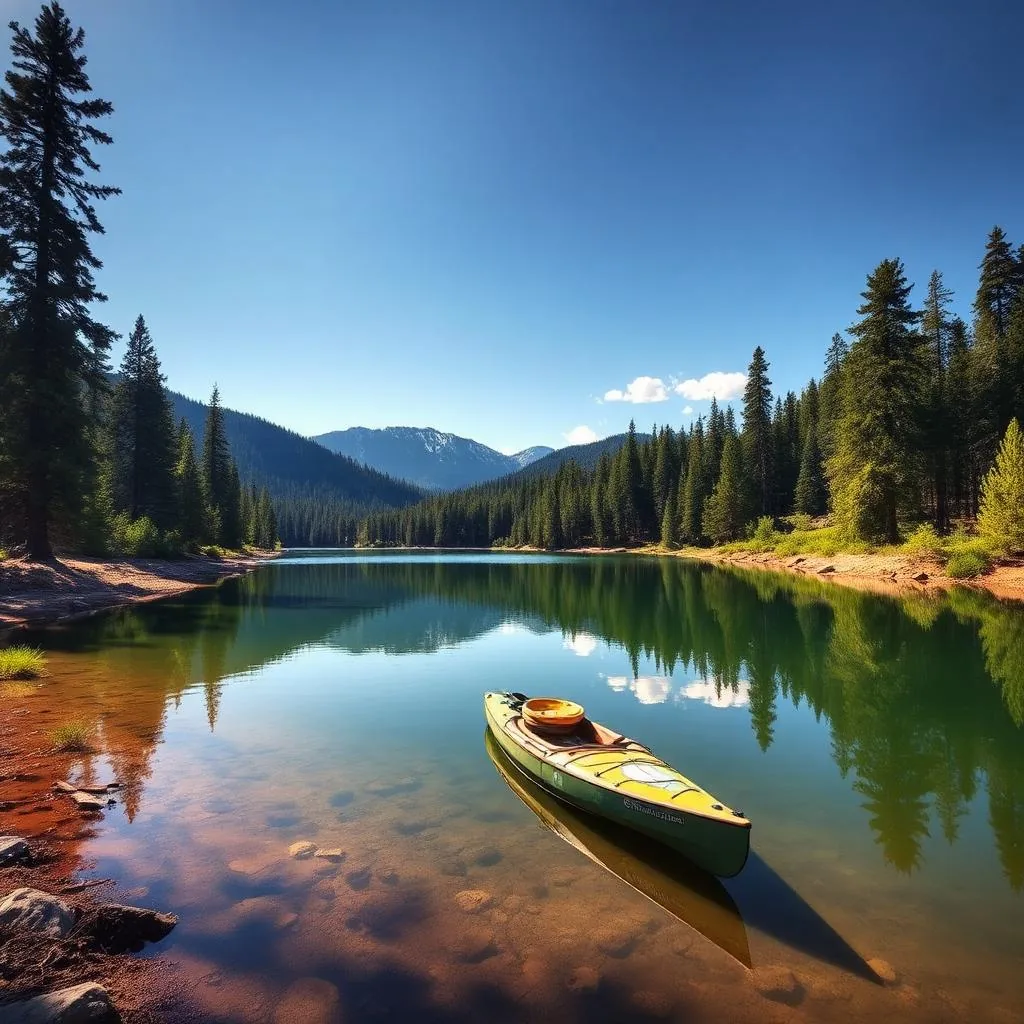
There are roughly a dozen trout lakes within 20 miles of Pinetop. The shortlist: Woodland Lake (in-town, walkable shoreline, kid-friendly), Rainbow Lake (Pinetop, biggest, allows small boats with electric motors), Show Low Lake (largest in the region, real boat ramps), and Big Lake (45 minutes south, 9,000 ft, the prettiest of the bunch). All require an Arizona fishing license; you can buy one online or at any tackle shop.
Hiking
The White Mountains Trail System is a 200-mile network of interconnected loops, all maintained, all signed, all under 8,500 ft elevation so they're moderate by mountain standards. For a half-day hike, the Land of the Pioneers Trail (5.5 mi loop from Pinetop) is the standard. For a full day, drive 30 minutes south to the Mount Baldy Trail (7.4 mi out-and-back, summit is on tribal land and closed at the boundary).
- Land of the Pioneers Trail (5.5 mi loop, Pinetop)
- Pat Mullen Mountain Loop (4.2 mi, easy)
- Mount Baldy Trail (7.4 mi, summit closed at tribal boundary)
- Woodland Lake Loop (1.8 mi paved, accessible)
Food + the local move
Charlie Clark's Steakhouse (Pinetop) has been the splurge restaurant since 1938 — order the prime rib. Darbi's Cafe (Show Low) is the breakfast spot. Bourbon Brews (Pinetop) is the brewpub. The genuinely-local move is to pick up trout from Hatchery Pond or a lake, then ask your cabin host if you can grill outside. There's something about eating a fish you caught that morning at 7,000 feet that the resort dinner doesn't replicate.
When to go
Memorial Day through Labor Day is the obvious window — Pinetop in July averages 80°F days and 50°F nights, while Phoenix is melting. Late September brings aspen color near Big Lake. October is hunting season; lodging gets booked but prices drop. Winter is a separate trip (Sunrise Ski Resort is 30 min south of Pinetop) and worth its own article.
Frequently asked questions
How far is Pinetop from Phoenix?
195 miles, about 3.5 hours via US 60 east through Globe and up the Salt River Canyon.
How much cooler is Pinetop than Phoenix in summer?
Roughly 30 degrees cooler. Pinetop averages 80°F highs in July; Phoenix averages 107°F.
Is Pinetop-Lakeside worth visiting?
Absolutely — it's the best high-elevation summer escape within 4 hours of Phoenix.