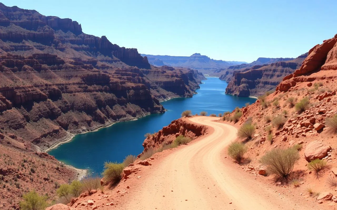
The first time I drove the Apache Trail, I almost turned around. Beyond Tortilla Flat, the road becomes a narrow ribbon of dirt clinging to the side of the Superstition Mountains, with no guardrail and a long drop into Fish Creek Canyon below. I distinctly remember a moment of looking over the edge and thinking, 'Who built this, and what were they thinking?'
The answer, it turns out, is that the road was built in 1905 to haul materials to the Roosevelt Dam site, and the people who built it weren't thinking about modern SUVs. They were thinking about mule teams. Theodore Roosevelt himself, after riding the route to dedicate his namesake dam, called it 'one of the most spectacular drives in the world.' He wasn't exaggerating.
Today the Apache Trail is in a strange limbo — the paved section from Apache Junction to Tortilla Flat is open and spectacular, while the dirt section beyond has been closed since 2019 storm damage and the state has been slow to repair it. That doesn't mean you should skip it. The open portion is still the best half-day drive within an hour of Phoenix. Here's the honest, current-state guide.
What's actually open right now
This matters more than any other section of this article, because outdated blog posts have sent a lot of people on a frustrating dead-end drive. Here's the situation as of mid-2026: the paved portion of AZ-88 from Apache Junction east through Tortilla Flat is fully open year-round. Beyond Tortilla Flat, the unpaved section that historically continued past Fish Creek Hill to Roosevelt Dam has been closed since the 2019 monsoon damage, with no firm reopening date.
Before you go, check the ADOT (Arizona Department of Transportation) website for current AZ-88 status. They post updates regularly. Even if you only do the paved portion, you'll see Goldfield, the Superstition Mountains, Canyon Lake, and Tortilla Flat — which is more than enough for a great day.
The route, stop by stop
Start in Apache Junction, where AZ-88 begins at the intersection with US-60. Head east on AZ-88 (the road is also called Apache Trail; the signs use both). The first 4 miles are flat suburban highway. Don't worry — it gets interesting quickly.
First stop: Goldfield Ghost Town (mile 4). It's reconstructed rather than genuinely historic, but it's a fun 30–45 minute walk through saloons, a tiny narrow-gauge train, and a working blacksmith. Kids love it. Skip it if you've seen Tombstone — it's that same idea at a smaller scale.
Lost Dutchman State Park (mile 5) is the next pull-off and worth at least a stop at the visitor center. The Superstition Mountains rise dramatically right behind the park, and if you want to add a short hike, the Treasure Loop is a 2-mile circuit with the best mountain views in the area.
Continue another 10 miles to the Canyon Lake Vista. This is the photo stop — a turquoise lake reservoir tucked between red cliffs that genuinely doesn't look like anywhere else in central Arizona. There's a marina with kayak rentals and a tour boat (the Dolly Steamboat) that runs nature cruises. If you have time, the boat is the best way to see the lake.
Last stop on the paved section: Tortilla Flat (mile 18), a tiny old stagecoach stop with a population of six. The Superstition Saloon serves a respectable buffalo burger and the world's most-Instagrammed prickly pear soft serve. The walls of the saloon are covered with signed dollar bills, supposedly worth over $100,000 in cash. Eat here. Don't skip it.
What to pack and how to prepare
Fill your gas tank in Apache Junction. There is no fuel beyond town until you double back. There is also no cell service for long stretches, especially in the canyons. Download an offline map or print a paper one.
Bring more water than you think you need. Even in March, the canyons heat up by midday. A small cooler with snacks turns a 4-hour drive into a much more pleasant outing. Sun protection is non-negotiable — pull-outs are exposed and you'll be standing in direct sun at every overlook.
If you're driving a low-clearance car, you'll be fine on the paved portion. If the dirt section ever reopens, plan for a vehicle with at least mid-clearance and don't attempt it after rain.
When to go (and when to absolutely not)
October through April is the obvious window — comfortable temperatures, clear light, and the Superstitions at their photogenic best. March, when the wildflowers bloom at Lost Dutchman, is my favorite. Avoid the drive in midsummer; canyon temperatures push 110°F and several overlooks are exposed asphalt that radiates heat back at you. Sunrise drives in summer can be lovely, but you'll want to be off the road by 10 AM.
Weekends, especially Saturday afternoons, get busy at the Canyon Lake overlooks and at Tortilla Flat. Tuesday and Wednesday mornings are paradise — you'll have most overlooks to yourself.
Making it a full day
The drive itself is about 4 hours round trip from Phoenix with stops. To stretch it into a full day, combine with a Dolly Steamboat lake cruise (it's a real Sonoran ecology tour and you'll see wildlife you didn't know lived in the desert), or add a hike at Lost Dutchman in the cooler months. We've also done it as the back half of a day that started with breakfast at the Mining Camp Restaurant in Apache Junction and ended with sunset margaritas back in Mesa.
If you have a friend with two vehicles, you can also do a one-way Goldfield-to-Tortilla-Flat shuttle and rent kayaks at Canyon Lake in the middle. That's the day my husband and I keep saying we'll do and somehow keep putting off.
Frequently asked questions
Is the Apache Trail open all the way?
No. As of 2026, the dirt section beyond Tortilla Flat (past Fish Creek Hill toward Roosevelt Dam) is closed due to storm damage. The paved portion from Apache Junction to Tortilla Flat is fully open year-round. Always check the ADOT site for the latest status.
How long does the Apache Trail take?
Allow 4 hours for the round trip from Phoenix with stops. A leisurely full-day version with a steamboat cruise and a Goldfield walk runs 6–8 hours.
Can you drive the Apache Trail in a regular car?
Yes, the open paved portion is fine for any vehicle. If the dirt section ever reopens, you'll want at least mid-clearance and you should not attempt it after rain.
Is the Apache Trail safe to drive?
The paved section is a normal scenic two-lane highway. The historic dirt section was narrow with no guardrails and required confident drivers. While it's currently closed, even on the open portion you'll want to drive defensively — pull-outs come up quickly and tourists stop at the worst moments.