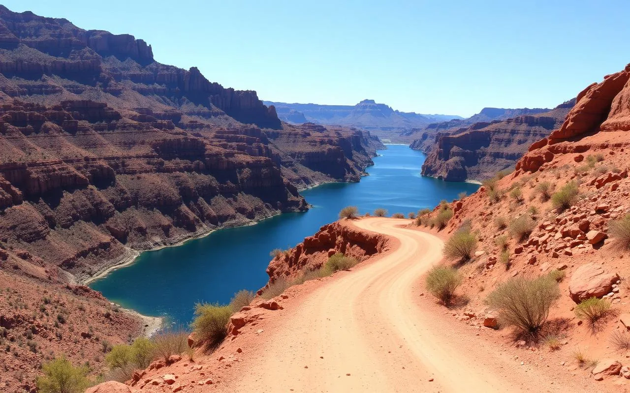
The first time I drove the Salt River Canyon I was twenty-two, towing a borrowed kayak on the roof of a Civic, and absolutely unprepared for what happens when US-60 falls off the edge of the world somewhere between Globe and Show Low. One minute you're rolling across high desert grassland. The next minute the road tips downward, the guardrail vanishes, and you are looking straight into a 2,000-foot canyon with the Salt River glinting at the bottom like someone left a turquoise bracelet in the dirt.
Most people white-knuckle the descent, snap one photo at the bridge, and keep driving. If you build in an hour and stop at the right pullouts, this becomes one of the most memorable drives in the state — and unlike the actual Grand Canyon, you can have an overlook completely to yourself on a Tuesday in April.
What the drive actually looks like
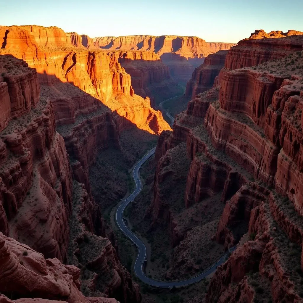
US-60 between Globe and Show Low covers about 90 miles. The dramatic part — the canyon section — is roughly 12 miles total and drops you 2,000 feet from the southern rim down to the river and back up the northern rim via genuinely tight switchbacks. The road is paved, well-engineered, and the sight lines are good, but the grade is steep enough that I downshift to second gear and watch my brake temperature on the way down. A friend of mine once cooked the brakes on a Sprinter van here, smelled them at the bottom, and had to sit at the picnic area for an hour. Don't be that person.
There are two main pullouts worth stopping for. The south rim overlook (better light in the afternoon) gives you the postcard view of the bridge and the switchbacks below. The bridge area at the bottom has interpretive panels, picnic ramadas, restrooms, river access, and a small Apache tribal information area. Both are worth ten minutes.
Stop at the Salt River Canyon Visitor Area
The lower pullout at the bridge sits on the boundary between the San Carlos Apache and White Mountain Apache reservations. The visitor area is small but more substantial than you'd expect — interpretive panels on Apache history, signs explaining the canyon's volcanic geology, a short trail that drops to the riverbank, and clean enough restrooms.
A tribal day-use permit (around $10 last time I bought one) is required if you plan to actually walk down to the water or fish, and you'll see a pay kiosk at the parking area. Bring cash. The river itself runs cold and clear in spring — that's snowmelt off the White Mountains — and the section here is a famous Class III–IV whitewater rafting put-in. Outfitters out of Phoenix run one- to five-day trips March through May, and if you stop at the bridge in April you'll usually see a put-in or take-out in progress with rafts strapped to trailers and very wet-looking river guides shouting at each other.
When to drive it (and the light I plan around)
The canyon faces roughly east-west, which means the light situation matters more here than on most drives. Late afternoon — about an hour before sunset — is when the walls turn the deep brick-red that makes the photos. Mid-morning is good but flatter. I avoid midday June through August; the canyon is a heat trap and the light is dead overhead.
Spring is the most dramatic season overall. After a wet winter the desert hillsides above the rim go green, the river runs full, and there's often still snow on the upper rim in early March, which is a visual you can't believe even when you're looking at it. Summer monsoons can shut the road briefly during flash floods — check ADOT before driving July through September. Winter is fine but the southern rim above the canyon ices over occasionally; drive carefully and don't pass anyone with chains.
Pair it with: Globe to the south, Show Low to the north
If you're making a real day or weekend of it, this drive pairs naturally with a few specific stops. South of the canyon, Globe has the genuinely excellent Besh-Ba-Gowah Archaeological Park (a partially restored Salado pueblo) and a couple of good Mexican restaurants in the historic downtown — Chalo's is my pick. North of the canyon, Show Low and Pinetop open into the White Mountains, which is its own multi-day trip.
For a bigger loop, drop east off US-60 onto US-191 (the Coronado Trail) and connect to Hannagan Meadow and Alpine. That turns the Salt River Canyon into the opening act of one of the wildest road trips in the Southwest.
Three small honest tips that have saved me
First: cell service drops out for about thirty miles through the canyon. Download offline maps before you leave Globe. Second: the gas station in Globe is much cheaper than anything once you climb out the other side; fill up before you start the climb either direction. Third: if you're traveling with a nervous passenger, mention the descent before you start it. There's nothing worse than someone realizing halfway down that the next ten minutes involves a thousand feet of switchbacks with no shoulder.
Frequently asked questions
How long is the Salt River Canyon drive?
The canyon section is about 12 miles of US-60 with 2,000 feet of elevation change, but plan an extra hour for stops at the overlooks and the bridge visitor area. Total drive Globe to Show Low is about 90 miles, allow 2.5 hours with stops.
Is the Salt River Canyon road dangerous?
Not dangerous in normal conditions, but steep and curvy. RVs and large trailers should use low gear on the descent and allow extra time. Snow at the upper rim in winter is the main hazard; flash floods can briefly close the road during summer monsoon storms.
Can you swim in the Salt River at the canyon?
Yes, with a tribal day-use permit. The water is cold and fast in spring (snowmelt) and calmer but warmer by midsummer. There's no developed beach — most swimming happens at the rocky river access point downstream of the bridge.
Is there gas in the Salt River Canyon?
No. Fill up in Globe to the south or Show Low to the north. The canyon itself has no services other than the picnic area at the bridge.