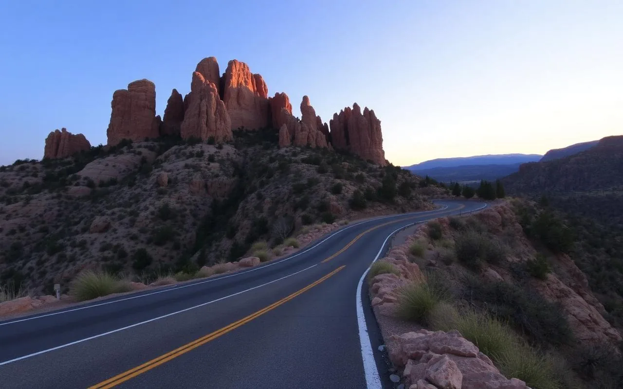
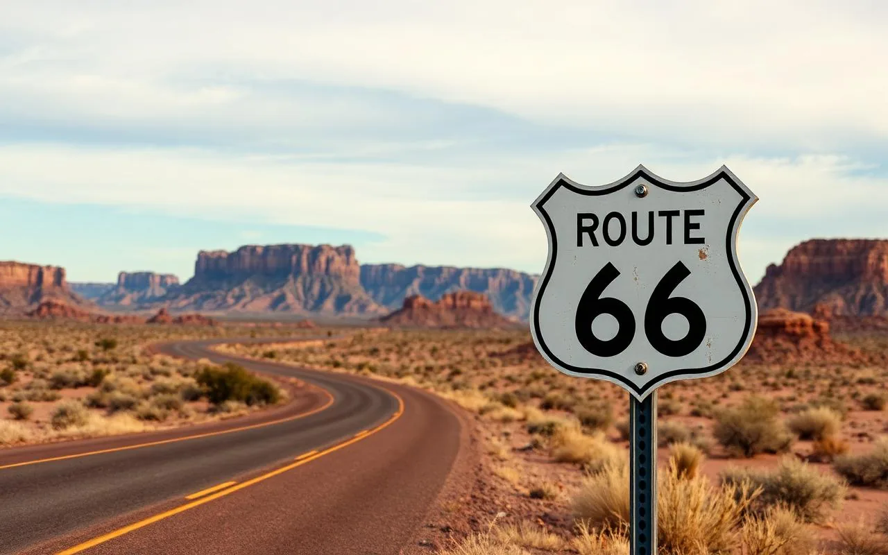
I do a lot of driving in this state. Every time someone asks me 'what's the most beautiful drive in Arizona?' I freeze a little, because the honest answer depends on the season, the time of day, and how willing you are to white-knuckle a switchback. Not all scenic drives are equal — some are spectacular for 10 miles and dull for the remaining 90, and some look great in photos but feel like a slog from inside the car.
The list below is the ten that, in my experience, are great the whole way through. I've done every one of these multiple times, in different seasons, with different passengers (the carsick-prone in-laws are an honest stress test). For each, I've noted the actual driving time, the must-stops, and the season I'd send my own family.
One general rule before you start: gas up in town. Arizona's prettiest stretches tend to be the ones with the fewest services. I keep a half tank as my refill trigger anywhere off the interstate, and I've never regretted it.
1. Mount Lemmon Scenic Byway (Tucson)
27 miles, about an hour each way if you drive it straight. The single most ecologically dramatic short drive in the state — you start in saguaro forest at 2,500 feet and end in ponderosa pine and a tiny ski village at 9,000. Locals call it 'driving from Mexico to Canada' and that's not really an exaggeration.
Stops that matter: Babad Do'ag overlook (best Tucson basin view in the first ten minutes), Windy Point (the pull-off everyone takes the photo at), Rose Canyon Lake turnoff, and Summerhaven at the top for a cookie at the Cookie Cabin. Allow a half day round-trip with lunch.
2. Apache Trail (Apache Junction → Tortilla Flat)
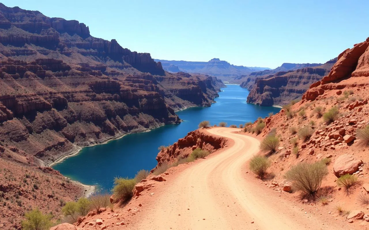
AZ-88 east out of Apache Junction. The paved section to Tortilla Flat (about 22 miles) is open year-round and is itself a beautiful drive — Saguaro Lake views, Canyon Lake bridge, and the kind of tight bends that make the speed limit feel optimistic. Beyond Tortilla Flat the road turns to gravel and conditions vary year to year; check ADOT before you commit.
Stop at Tortilla Flat for prickly pear ice cream and a beer at the Superstition Saloon, take the Dolly Steamboat cruise on Canyon Lake if it's running, and don't try to do the full unpaved loop unless you've confirmed conditions and you're driving something with real clearance.
3. Red Rock Scenic Byway (AZ-179, Sedona)
Only 7.5 miles, but every single mile is a postcard. This is the southern approach to Sedona from I-17, and it's the drive I send first-timers on so they can see Bell Rock, Courthouse Butte, Cathedral Rock, and the Chapel of the Holy Cross all from the road.
Pull off at the Bell Rock Pathway trailhead for the best mid-route view. The byway has formal pull-outs designed for stopping — use them. Stopping in the travel lane to take photos here will get you honked at (deservedly).
4. Oak Creek Canyon Drive (US-89A, Sedona to Flagstaff)
27 miles of switchbacks through a forested canyon. You climb (or descend) about 2,500 feet between Sedona and Flagstaff with Oak Creek beside you most of the way. The overlook at the top is one of the most photographed roadside views in Arizona and absolutely worth the five-minute stop.
Stop at Slide Rock State Park if it's a hot day and you've packed swim shoes — it's a natural sandstone water slide. Fall colors peak mid-October. The drive is genuinely magical in the snow, but the highway closes to non-snow-tires occasionally; check before you commit in winter.
5. Coronado Trail Scenic Byway (US-191)
The most technical drive on this list — 460 curves in 120 miles, climbing from desert at Clifton to 9,000-foot alpine country at Hannagan Meadow. Plan a full day; there are essentially no services between Clifton and Alpine. Bring snacks and a full tank.
This is not a casual outing. Carsick-prone passengers should sit this one out. But the upside is genuine wilderness — you'll see more elk than humans on the upper stretches, and the views off the rim into Blue Range Primitive Area are some of the wildest in the Southwest.
6. Historic Route 66 (Seligman to Kingman)
The longest preserved stretch of original Route 66 in the country — about 90 miles of uninterrupted Mother Road. Start in Seligman (the town that lobbied to save this section and inspired the film Cars), stop at Hackberry General Store for a Coke and a photo, then end in Oatman where wild burros walk the main street and pose for tourists.
Easy half-day drive, mostly flat, no scary curves. The best 'I drove Route 66' day trip in Arizona by a wide margin.
7. Sky Island Scenic Byway alternatives (AZ-83, Sonoita & Patagonia)
If Mount Lemmon is too crowded, drive AZ-83 south out of I-10 through Sonoita and Patagonia. Gentle hills, wine country, and surprisingly green grasslands that look more like Montana than Arizona. The 5,000-foot elevation keeps it cool when Tucson is brutal.
Pair the drive with a tasting at Sonoita Vineyards or Callaghan, lunch at Velvet Elvis in Patagonia, and a stop at Patagonia Lake State Park if you've got swim shoes.
8. White Mountain Loop (Show Low → Greer → Springerville)
Best fall foliage drive in Arizona. Aspens turn gold mid-September through early October. The loop is about 100 miles and takes you through Show Low, the village of Greer (tiny, alpine, perfect lunch stop at the Greer Lodge), and Springerville on the New Mexico edge.
Bring layers — at 8,500 feet, October mornings will be in the 30s. This is the drive I take when I need to remember Arizona has a fall.
9. Kayenta–Monument Valley Scenic Road (US-163)
The Forrest Gump shot. The 'highway running straight into the buttes' photo you've seen a thousand times — that's mile marker 13 of US-163 north of Kayenta. Drive it at sunrise for the best light and the fewest other photographers blocking your lane.
Respect the Navajo Nation here. Pull off at marked spots, don't trespass for photos, and consider booking a Navajo-guided tour into the valley if you want more than the roadside view.
10. Joshua Forest Parkway (US-93, Wickenburg → Wikieup)
An unexpected grove of Joshua trees alongside the highway, roughly 30 miles north of Wickenburg. Easy add-on if you're heading to Las Vegas or Hoover Dam. Best in March when they bloom — creamy white flower clusters that look almost prehistoric against the desert sky.
There's no formal stop, just pull-outs. Drive carefully and don't trample new plants for a photo.
Frequently asked questions
What is the most scenic drive in Arizona?
Subjective, but the Red Rock Scenic Byway near Sedona is the most consistently dramatic per mile. The Mount Lemmon Highway is the most ecologically varied in a single hour.
How long is the Apache Trail?
About 40 miles end to end, but most visitors drive the paved 22 miles from Apache Junction to Tortilla Flat and back. The unpaved sections beyond Tortilla Flat are often closed or rough.
When is the best time of year for Arizona scenic drives?
October–November and March–April. Summer monsoons make afternoon drives unpredictable; winter snow closes the high-elevation routes intermittently.