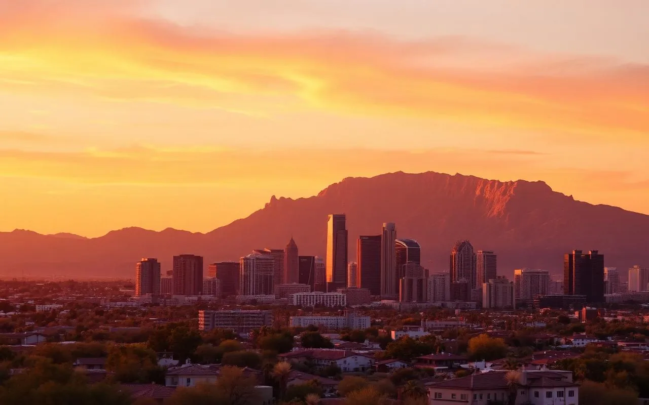
I get asked the same question constantly: "If I only have one day outside Phoenix, where should I go?" The honest answer depends on the season, who you're with, and how much driving you actually want to do. So instead of a generic list, this guide ranks the 15 best day trips from Phoenix the way I think about them — by drive time, what kind of trip it is, and whether I'd send my own family there on a hot July Saturday.
Every trip on this list is one I've personally done in a single day, multiple times. I've cut a few classics that sound great on paper but are punishing in practice (looking at you, Grand Canyon as a same-day round trip). What's left are the ones that consistently deliver.
How to think about day trips from Phoenix
Phoenix's geography is unusual. To the north you climb a mile in elevation in about 90 minutes, which means you can leave 105°F in the Valley and arrive at 75°F in pine country. To the east you have desert lakes and dramatic canyon country. To the south, sky-island mountains and Mexican-influenced towns. Each direction is a different kind of trip.
My rule of thumb: any drive over 2.5 hours one way isn't really a day trip — it's a half-vacation. The trips on this list are all under that limit, with most clocking in between 60 and 120 minutes each way. That leaves you real time at the destination.
1. Sedona — the obvious pick, and worth it
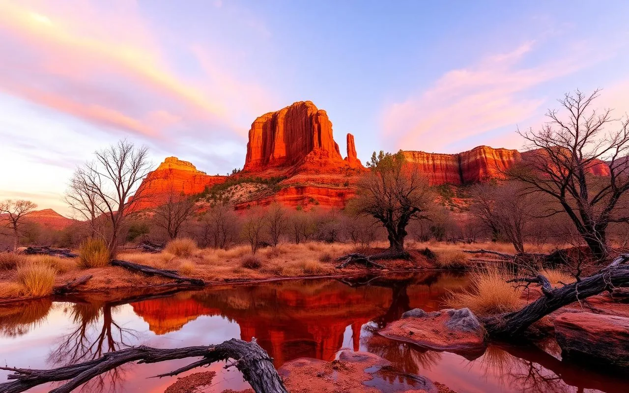
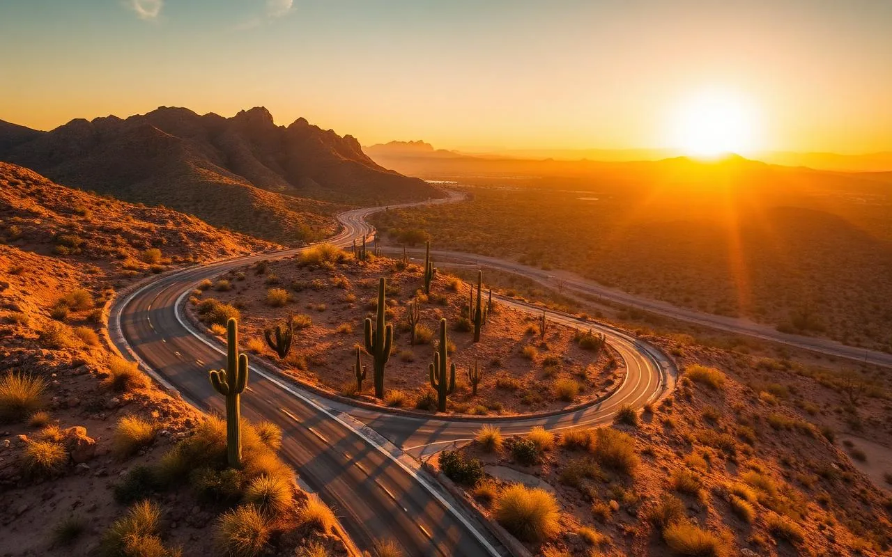
Sedona is roughly two hours up I-17, and it earns its reputation. Red rock formations like Cathedral Rock, Bell Rock, and the Chapel of the Holy Cross are genuinely as photogenic in person as they are online. The trick is timing: arrive by 8 AM on weekends or you'll spend an hour looking for parking.
For a single day, I'd pick one short hike (Bell Rock or Devil's Bridge if you're up for a longer walk), one viewpoint coffee stop, and one sit-down meal in West Sedona. Don't try to do every vortex in one day — you'll come home exhausted and miss the actual point of being there.
2. Jerome ghost town & the Verde Valley
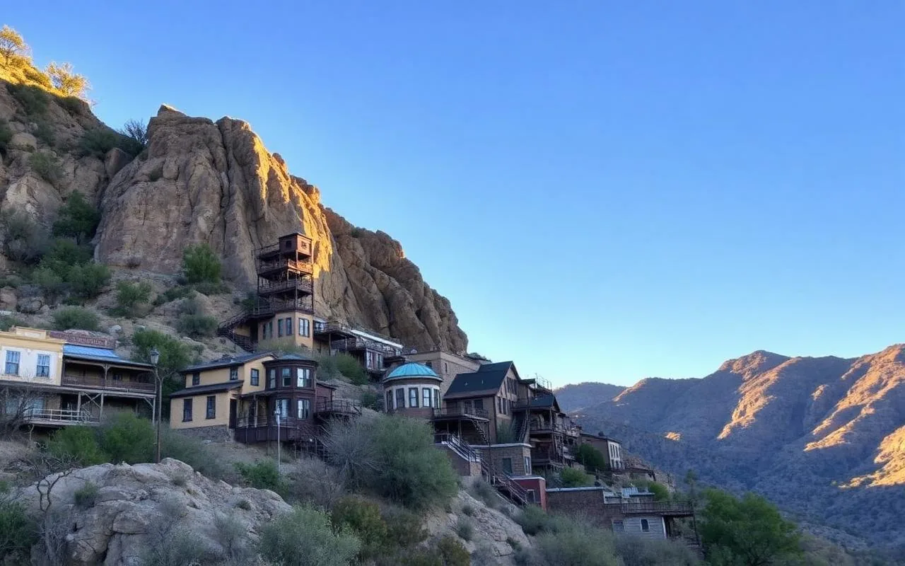
Jerome is a former copper-mining town clinging to the side of Cleopatra Hill, about 2 hours north of Phoenix. It has the best concentration of working artists of anywhere I've been in Arizona, plus genuinely good restaurants, a wine tasting scene in nearby Cottonwood, and the kind of switchback drive that makes you grateful you weren't driving a stagecoach in 1890.
Pair Jerome with a stop in Cottonwood's Old Town for lunch and you have an easy, low-effort day trip that doesn't involve a hike if you don't want one.
3. Salt River tubing (summer only)
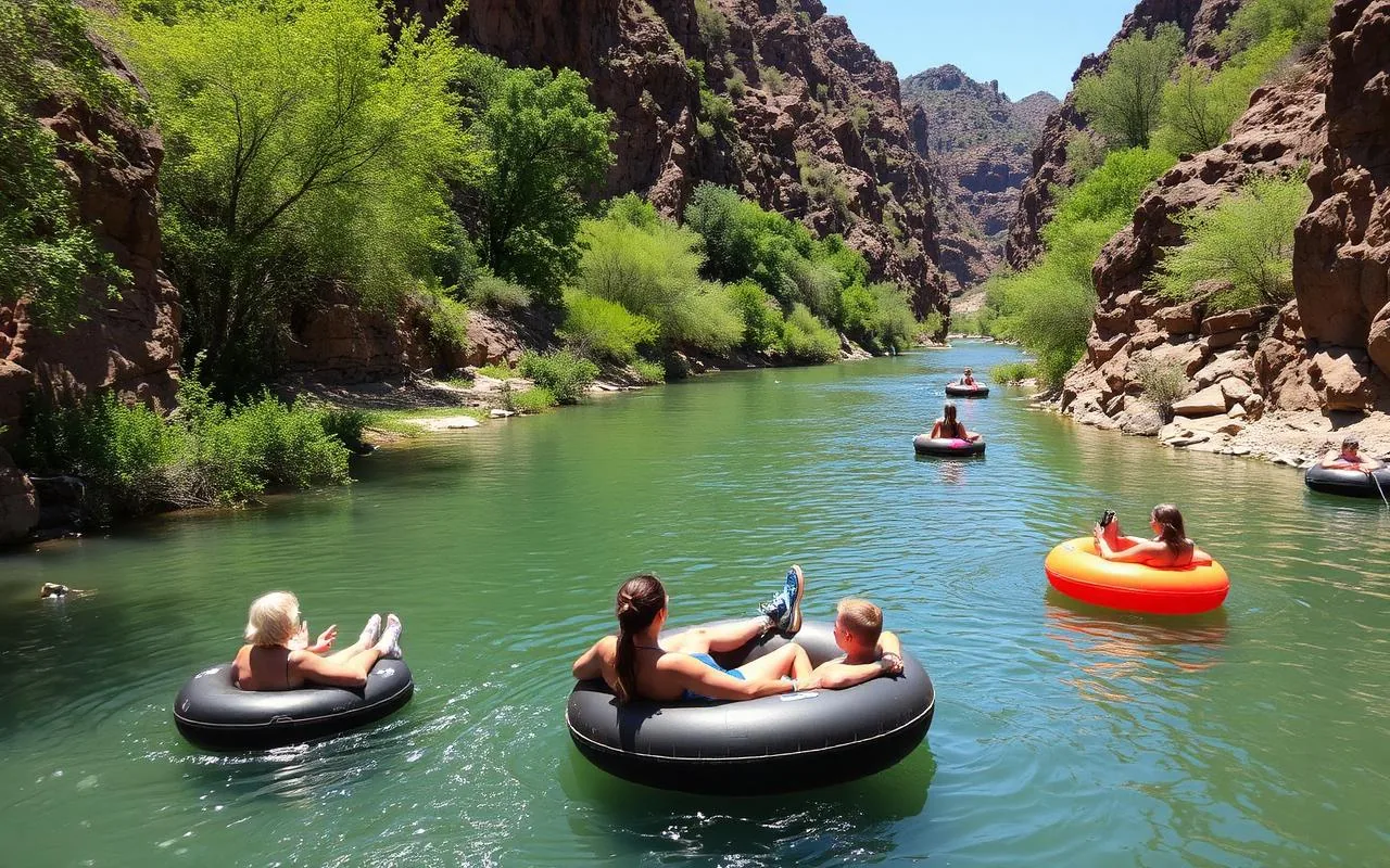
On a hot day, nothing beats floating the Lower Salt River. Salt River Tubing runs a shuttle, you rent a tube for the day, and you drift for 2–5 hours depending on which put-in you choose. Bring sunscreen you don't mind losing, wear shoes that can get wet, and please — the wild horses on the riverbank are not friendly photo props. Keep your distance.
Best months are late May through early September. After Labor Day they close for the season.
4. Apache Trail & Canyon Lake
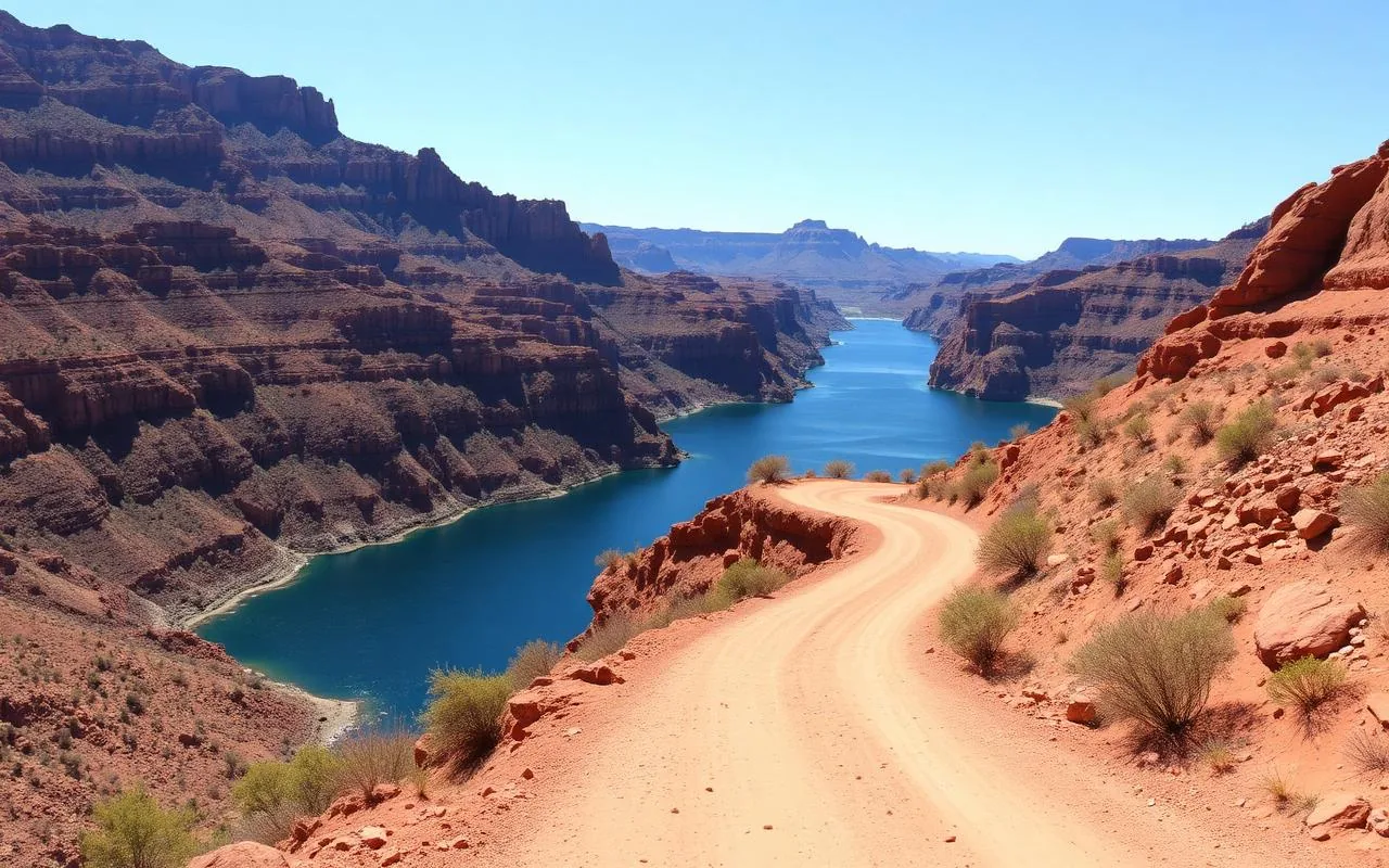
The Apache Trail (AZ-88) is one of the most underrated drives in the state. It runs from Apache Junction past Canyon Lake and Tortilla Flat into deep Superstition Mountain country. Note: some sections have been closed since the 2019 storm damage, so always check current conditions before you commit. The paved section to Canyon Lake is open year-round and is itself a beautiful drive.
Stop at Tortilla Flat for prickly pear ice cream, take the Dolly Steamboat cruise on Canyon Lake if it's running, and turn back before the unpaved switchbacks unless you've confirmed they're open.
5. Prescott & the Bradshaw Mountains
Prescott sits at 5,400 feet, which means summer highs in the 80s while Phoenix is in the 110s. The historic Courthouse Plaza is the heart of town, Whiskey Row still has working saloons, and Watson Lake just outside town has some of the strangest, most photogenic rock formations in northern Arizona.
Drive time is about 100 minutes via I-17 and AZ-69. For a longer return trip, take AZ-89 down through Yarnell and Wickenburg.
6. Tonto Natural Bridge — the world's largest travertine bridge
About two hours northeast of Phoenix via AZ-87 (the Beeline), Tonto Natural Bridge is a 183-foot travertine arch inside a small Arizona state park. Entry is $7 per adult, cash or card, and the park opens at 8 AM most of the year. The four viewpoints along the rim are wheelchair-accessible; getting down under the bridge requires the Pine Creek or Gowan trails, both short but genuinely steep and slippery when wet.
Best months are April, May, September, and October. Summer is doable but the last mile of road is a 14% grade — check your brakes. In winter the descent trails ice over and are frequently closed. Bring water, closed-toe shoes with real tread, and don't try to shortcut the switchbacks.
7. Payson & the Mogollon Rim
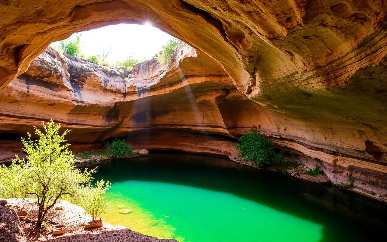
Payson sits at 5,000 feet about two hours northeast of Phoenix and is the most reliable summer escape valve in the state. Highs run 25–30°F cooler than the Valley from June through August. The town itself is small and functional (gas, groceries, a few decent restaurants), but the reason to go is the Mogollon Rim — a 200-mile escarpment that drops 2,000 feet in a single geologic step.
Drive the Rim Road (FR 300) for the classic overlooks; the graded dirt is fine for a passenger car in dry weather but turns to slick clay after monsoon storms. Woods Canyon Lake and Willow Springs Lake are both 45 minutes further and free to visit, though parking fills by 10 AM on summer weekends. Watch for elk at dusk on the drive back.
8. Montezuma Castle & Montezuma Well
Ninety minutes north on I-17, Montezuma Castle is one of the best-preserved cliff dwellings in North America — a five-story, 20-room Sinagua structure tucked into a limestone alcove 90 feet above Beaver Creek. Entry is $10 per adult (children free) and covers Tuzigoot the same day. The loop trail is paved, flat, and takes about 30 minutes.
Pair it with Montezuma Well, 11 miles up the road and free with the same pass. The Well is a collapsed limestone sinkhole with a warm-water spring that has been continuously inhabited for 10,000 years — the small pueblo ruins on the rim are usually deserted by mid-afternoon. Best months are October through April; the shadeless approach walks are brutal in July.
9. Lost Dutchman State Park
Only 45 minutes east of Phoenix, Lost Dutchman gives you the most photographable face of the Superstition Mountains without any real commitment. Entry is $10 per vehicle, and the park opens at sunrise year-round. The Treasure Loop Trail is 2.4 miles with 500 feet of gain and lands you at a viewpoint with Weavers Needle framed perfectly for the walk back down.
Do this trip October through April. From late May through September, the trailheads are dangerous by 9 AM and rangers will (correctly) warn you off. In spring, the poppies and lupine along Siphon Draw are extraordinary — a good year of winter rain can carpet the lower slopes gold. Bring 2 liters of water per person even in cool weather.
10. Crown King — the slow-road mountain town
Crown King is a former gold-mining hamlet at 5,800 feet in the Bradshaw Mountains, and the drive is the point. From Cleator, the last 26 miles are unpaved, rutted, and slow — plan two hours for the final stretch. A stock passenger car in dry weather can make it if you're patient; after monsoon storms or in winter, you want AWD and clearance. Cell service dies about 20 miles in.
The reward: pine forest, a general store from 1898, one saloon, one small restaurant, and a genuine sense of having driven back a century. Bring a full tank of gas from Black Canyon City (there's no fuel in Crown King), plus water, snacks, and a spare tire you actually know how to change. This is not a trip for a rental sedan on a rushed schedule.
11. Globe & Tonto National Monument
About 90 minutes east of Phoenix on US-60, Globe is a working copper town most visitors bypass. That's a mistake — the historic downtown has real Mexican food (Guayo's El Rey has been open since 1938), the Besh-Ba-Gowah archaeological park preserves a 700-year-old Salado pueblo, and Bullion Plaza has been carefully restored as a small museum.
Twenty-five miles further, Tonto National Monument protects two cliff dwellings above Roosevelt Lake. The Lower Cliff Dwelling is a moderate 1-mile round trip; the Upper Dwelling requires a $10 ranger-guided tour booked in advance and is only offered November through April. Entry to the monument is $10 per adult. Combine both stops with a Roosevelt Lake overlook and you have a full, unhurried day.
12. Wickenburg — cowboy history and easy desert walks
Seventy-five minutes northwest via US-60, Wickenburg is one of the most walkable small towns in the state. The historic downtown is a compact six blocks with the Desert Caballeros Western Museum ($15 adult, closed Mondays) as its anchor — genuinely one of the best small-museum collections of Western art in the Southwest. Anchor lunch at Rancho de los Caballeros or Anita's Cocina.
For a short desert walk, the Hassayampa River Preserve is 15 minutes south of town, $5 per adult, and one of the few year-round riparian oases in central Arizona. Cottonwoods, willows, herons, and yellow-billed cuckoos in spring. Open Wednesday through Sunday. Best October through April.
13. Cave Creek & Carefree — boutique desert towns
Forty-five minutes north of Phoenix, Cave Creek and Carefree are neighboring towns with very different personalities — Cave Creek is honky-tonk saloons and motorcycles on weekends, Carefree is sculpture gardens and quiet cafés. The combination makes for a low-effort day: brunch in Carefree at the Sundial, browse the Spanish Village shops, drive the five minutes to Cave Creek for a Harold's burger and live music.
For a short hike, Black Mountain Trail is a 3-mile round trip with a rocky summit push and 360-degree Valley views. Trailhead parking is free but small — arrive before 8 AM October through March. Skip the hike May through September.
14. Saguaro Lake — kayaking, wild burros, and a paddlewheel
Forty-five minutes east via the Bush Highway, Saguaro Lake is the most accessible desert reservoir in the Phoenix area. Butcher Jones Beach is free to walk to; day-use parking at the marina requires a $12 Tonto Pass (buy at Circle K before you drive up — the on-site machines are unreliable). Kayak and paddleboard rentals run $25–40 per hour at Saguaro Lake Marina.
The wild burros along the Bush Highway are federally protected and genuinely wild — beautiful to photograph from your car, dangerous to approach on foot. The Desert Belle paddlewheel runs 90-minute narrated cruises Thursday through Sunday for $28 adult; a solid low-effort option if you're not up for paddling. Best months are October through May; the lake is doable in summer but the desert approach roads have no shade.
15. Florence Junction wildflower drive (spring only)
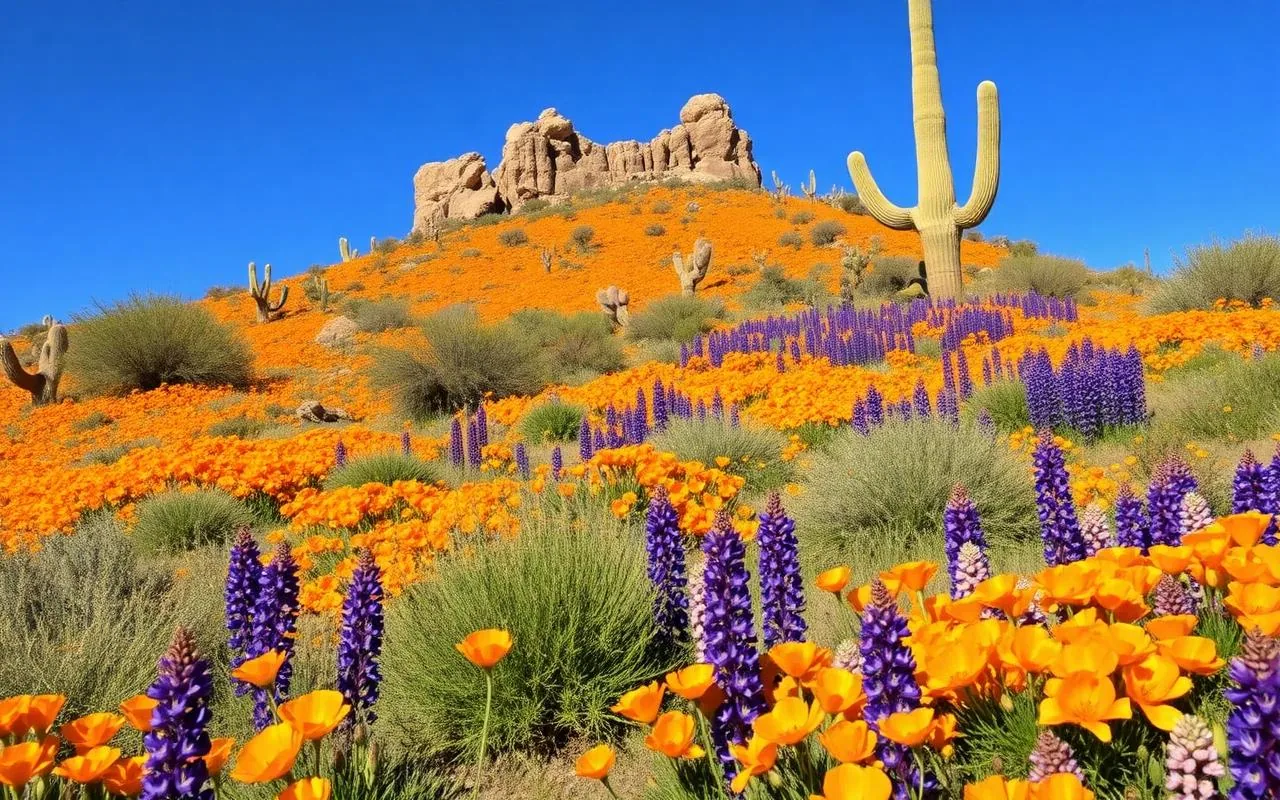
In a good year — meaning October–February winter rainfall over 5 inches at Phoenix Sky Harbor — the desert between Florence Junction and Superior explodes with Mexican gold poppies, lupine, and owl clover from mid-March into early April. The drive along US-60 east from Apache Junction, then south on Florence–Kelvin Highway, takes about 90 minutes with photo stops.
Boyce Thompson Arboretum ($20 adult) makes a natural anchor; their wildflower reports are the most reliable in the state. Check them before committing — in dry years the show barely happens. Bring a wide-brimmed hat, water, and shoes for short off-pavement walks. Never trample flowers for photos, and never pick — Arizona's native wildflower laws carry real fines.
Safety notes for every trip on this list
A few things I remind every visitor before they head out of Phoenix, regardless of destination:
- Carry at least 1 gallon of water per person in the vehicle May through September — heat-related deaths on Arizona trails are almost always dehydration, not falls.
- Download offline maps before you leave cell coverage; Google Maps has failed me on the Apache Trail, at Crown King, and along the Rim Road.
- Check road status at az511.gov the morning of your trip — closures for wildfire, flooding, and rockfall are common and rarely announced in advance.
- Watch the sky June through September for monsoon storms; a dry wash can become a 4-foot flash flood in under 10 minutes.
- Fill your gas tank in Phoenix or the last major town — small-town Arizona gas prices run $0.60–$1.00 per gallon higher, and pumps close early.
- Tell someone your route and expected return time before you head into low-signal areas like Crown King, the Rim Road, or the back Apache Trail.
What I no longer recommend as a day trip
A few popular suggestions don't actually work as day trips, in my experience:
Grand Canyon South Rim: technically possible at ~3.5 hours each way, but you'll arrive tired, have maybe two hours on the rim, and drive home in the dark. Make it an overnight.
Antelope Canyon / Horseshoe Bend (Page): nearly 5 hours each way. Not a day trip from Phoenix in any honest sense.
Havasu Falls: requires permits and a 10-mile hike each way. Not a day trip under any circumstance.
Frequently asked questions
What is the closest scenic day trip from Phoenix?
Lost Dutchman State Park is about 45 minutes east and gives you classic Superstition Mountain views with easy trails. Cave Creek and Saguaro Lake are similarly close.
Can you do Sedona as a day trip from Phoenix?
Yes — it's a comfortable 2-hour drive each way. Leave by 7 AM, plan one hike and one meal, and you'll be home by dinner.
What's the best summer day trip from Phoenix?
Anything that puts elevation between you and the Valley. Prescott, Payson, Mount Lemmon, and Flagstaff are all 25–40°F cooler than Phoenix in July.