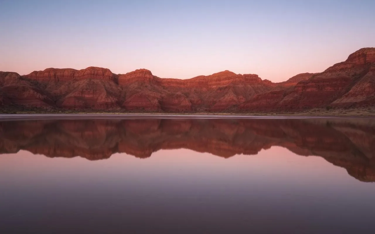
I keep waiting for Chiricahua to be discovered, and somehow it never quite happens. The park sits in the far southeastern corner of Arizona — past Willcox, well off any reasonable route to anywhere else — and that geographic awkwardness has spared it. Annual visitation is roughly 60,000, which is less than the Grand Canyon sees in a busy weekend.
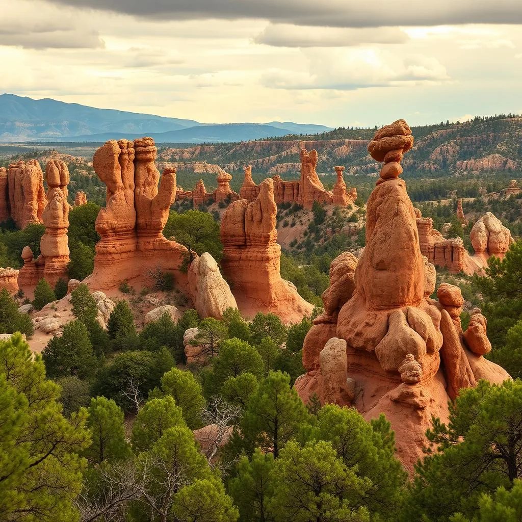
What's there: a 12,000-acre 'wonderland of rocks' formed by a massive volcanic eruption 27 million years ago and eroded into thousands of stone columns, balanced rocks, and walk-through chambers. A paved scenic drive to a 6,870-foot overlook. And what I'd argue is the most rewarding moderate hike in Arizona.
The drive in
From Tucson, plan 2 hours each way via I-10 East to Willcox, then AZ 186 southeast. The last 30 miles cross the Sulphur Springs Valley with the Chiricahua Mountains rising in front of you — it's a quietly beautiful approach that doesn't really prepare you for what's at the end.
Bonita Canyon Scenic Drive
The 8-mile paved drive climbs from the visitor center (5,400 ft) to Massai Point (6,870 ft) and stops at several overlooks along the way. Even if you don't hike, the drive alone justifies the visit. Massai Point at the top has a short interpretive trail and the best big-picture view of the rock formations.
The hike: Echo Canyon to Big Balanced Rock to Heart of Rocks
If you can only do one hike in Chiricahua, do the Echo Canyon Loop — 3.3 miles, about 600 feet of elevation, and probably the densest concentration of jaw-dropping rock formations per mile of trail anywhere in Arizona. You descend through 'Wall Street' and 'Echo Park' where the pinnacles tower so close on both sides that you can touch them.
If you've got the energy and a full day, extend it into the Big Loop (9.5 miles) that connects Echo Canyon to the Heart of Rocks. Big Balanced Rock — a 1,000-ton boulder perched on a 5-foot-wide base — and the famously named 'Punch and Judy' and 'Duck on a Rock' formations are all on this longer route.
- Echo Canyon Loop — 3.3 miles, 600 ft gain, moderate, must-do
- Big Loop — 9.5 miles, 1,500 ft gain, all-day, the full experience
- Sugarloaf Mountain — 1.8 miles round trip, summit fire tower view
- Massai Point Nature Trail — 0.5 miles, easy interpretive walk
When to go
March through May and September through November are ideal — comfortable temperatures, wildflowers in spring, occasional dusting of snow in winter. Summer afternoons get monsoon thunderstorms that can turn dramatic at this elevation. The park stays open year-round but the upper drive occasionally closes after snow.
Practical notes
There's no food, gas, or services inside the monument. Willcox (37 miles away) is your last stop for both. The free Bonita Canyon Campground at the base of the scenic drive is one of the most peaceful campgrounds in the state and a fantastic overnight option if you want to extend your visit.
Frequently asked questions
How far is Chiricahua from Tucson?
About 120 miles, or 2 hours each way via I-10 East and AZ 186.
Do you need a reservation for Chiricahua National Monument?
No entrance reservation is required and entry is free. Camping requires a separate reservation.
Is Chiricahua worth the drive?
If you like hiking among unusual rock formations, absolutely — it's one of Arizona's most underrated natural areas.