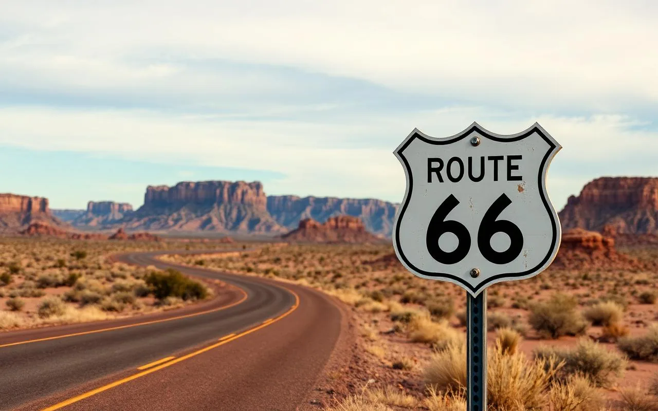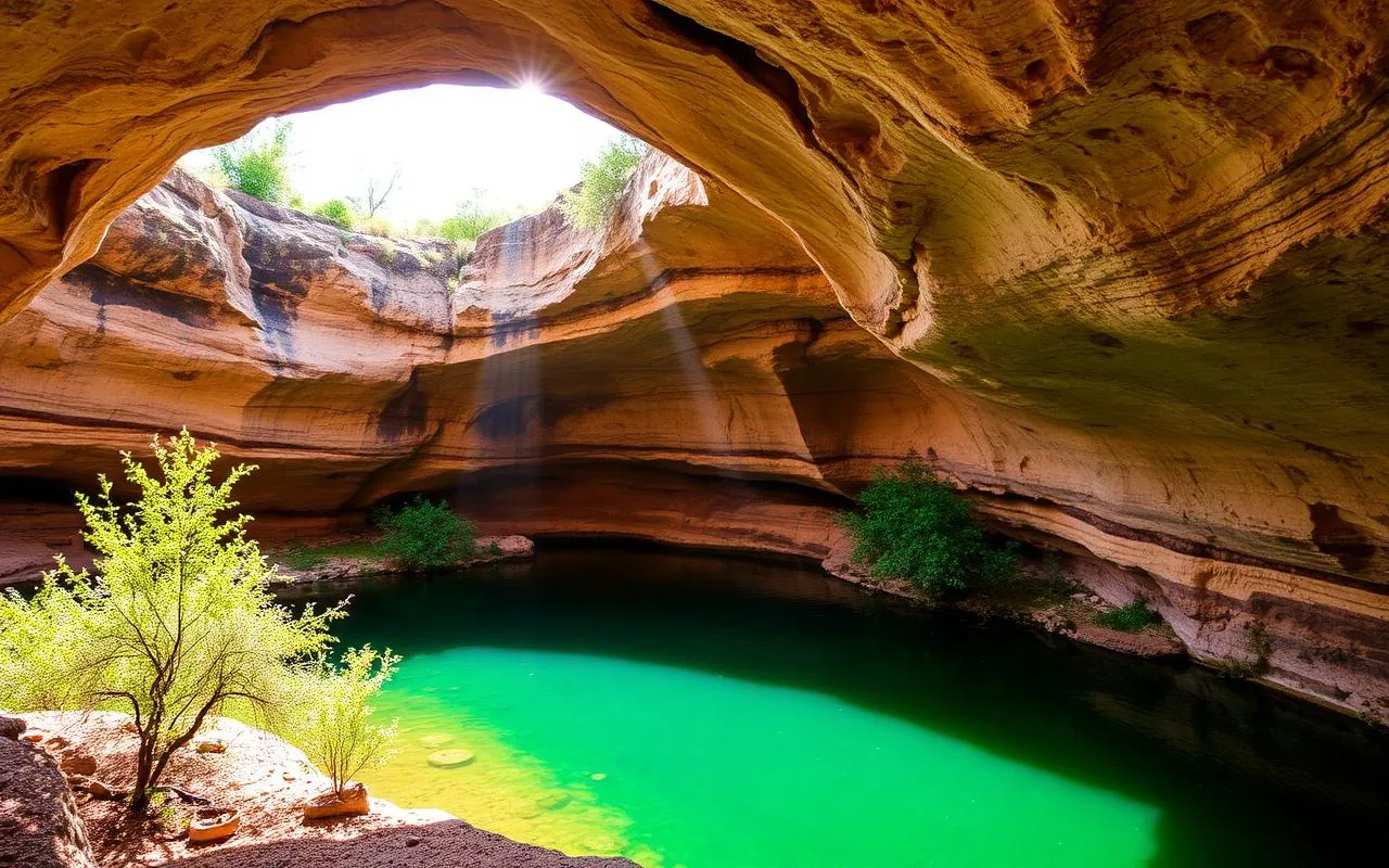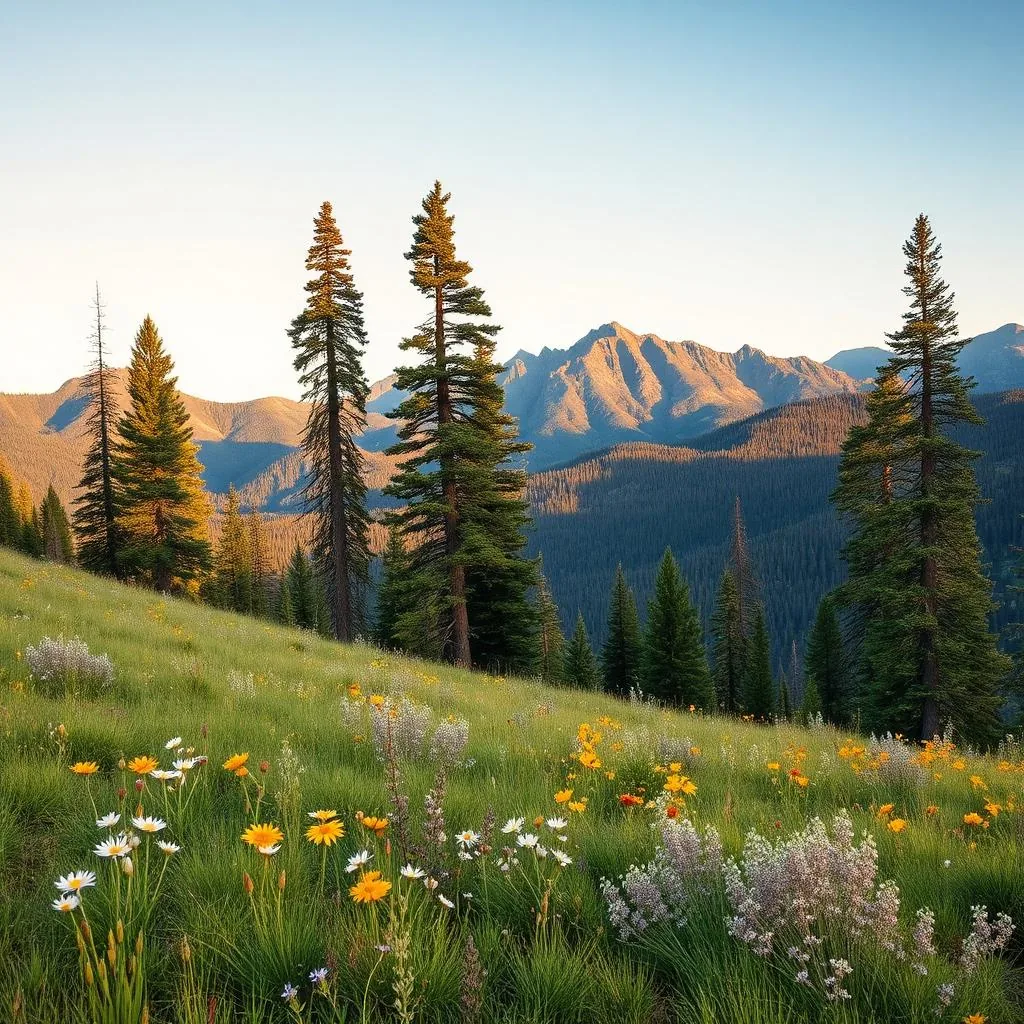
The Mogollon Rim (pronounced 'muggy-own,' not 'mo-go-lon') is the dramatic escarpment that forms the southern edge of the Colorado Plateau. It runs 200 miles east-to-west across central Arizona, rises 2,000 feet above the country below, and is forested with the largest contiguous ponderosa pine forest in the world. The classic drive runs Forest Road 300 — 'Rim Road' — along the very top.
The geography
Below the Rim: the Sonoran Desert and the canyons that drain into the Salt and Verde Rivers. Above the Rim: a high pine plateau at 7,000+ feet, 30 degrees cooler than the desert below, with lakes, meadows, and quiet two-lane roads. The Rim itself is what you stand on the edge of for the view.
The drive: AZ-260 to FR 300
Start in Payson (90 min from Phoenix on AZ-87 north). Take AZ-260 east — within 20 minutes you climb 2,000 vertical feet up the Rim itself on a paved highway. At the top, turn onto Forest Road 300 (Rim Road), a 43-mile graded gravel road that runs the very edge of the Rim east toward Heber. Any sedan handles it in dry weather; chains or 4WD needed after snow.
The four overlooks you don't skip
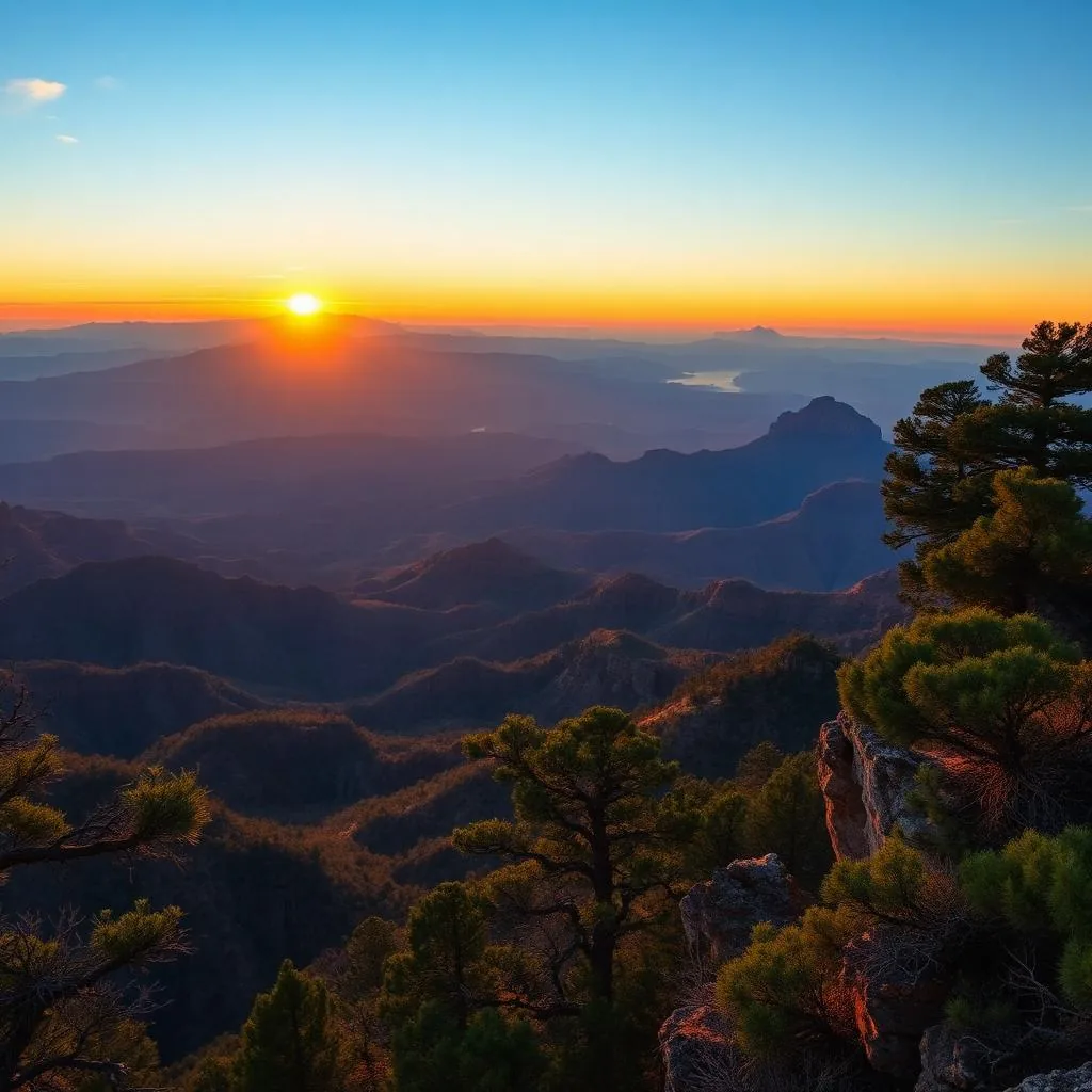
Mogollon Rim Visitor Center (paved, has bathrooms, sweeping interpretive view). Woods Canyon Lake Overlook (small alpine lake just off the Rim). Promontory Point (the single most dramatic viewpoint, accessed by a 0.25-mile spur). General Springs Overlook (toward the east end, less visited, great sunset spot). All four are signed off FR 300.
Where to stop for food + gas
Payson at the start is your last full town. The Strawberry/Pine area on AZ-87 (just north of Payson) has the Pine-Strawberry Cafe and the historic Pine Tap (decent burgers, local beer). At the east end of Rim Road, the small town of Heber-Overgaard has gas and one diner. Bring snacks and water — there's nothing on top of the Rim itself.
- Mogollon Rim Visitor Center (paved, accessible)
- Promontory Point (most dramatic view)
- Woods Canyon Lake (alpine lake, kayaking)
- Rim Lakes Vista Trail (3 mi loop along edge)
- General Springs Overlook (sunset spot)
Camping the Rim
If you have a weekend, this is one of the best camping zones in Arizona. Mogollon, Aspen, and Rim Campgrounds along Rim Road all offer first-come / reservable sites under ponderosas at 7,500 ft — perfect cool nights in July and August when Phoenix is 110°F. Reservations through Recreation.gov open six months ahead and the summer weekends sell out fast.
When to drive it
May through October. The Rim closes to most use in winter — snow keeps FR 300 impassable from December through March, often into April. Summer monsoon afternoons (July–August) bring lightning and flash flooding; drive in the morning, off the Rim by 2 PM. October is the best month — cool air, clear sky, golden aspens in the side canyons.
Frequently asked questions
How do you pronounce Mogollon?
'Muggy-own.' Locally it's never said 'mo-go-lon.'
Can a regular car drive Rim Road?
Yes in dry weather — FR 300 is graded gravel and any sedan handles it carefully. After rain or snow it requires 4WD.
How far is the Mogollon Rim from Phoenix?
About 90 minutes to Payson, then another 30 minutes up to the top of the Rim.