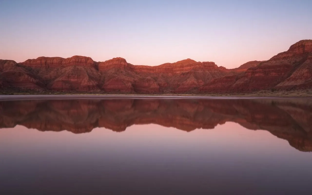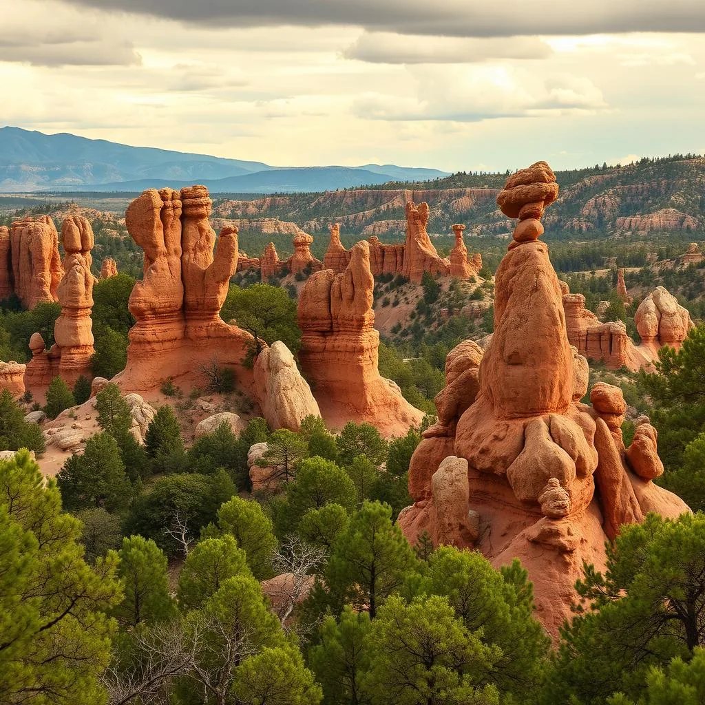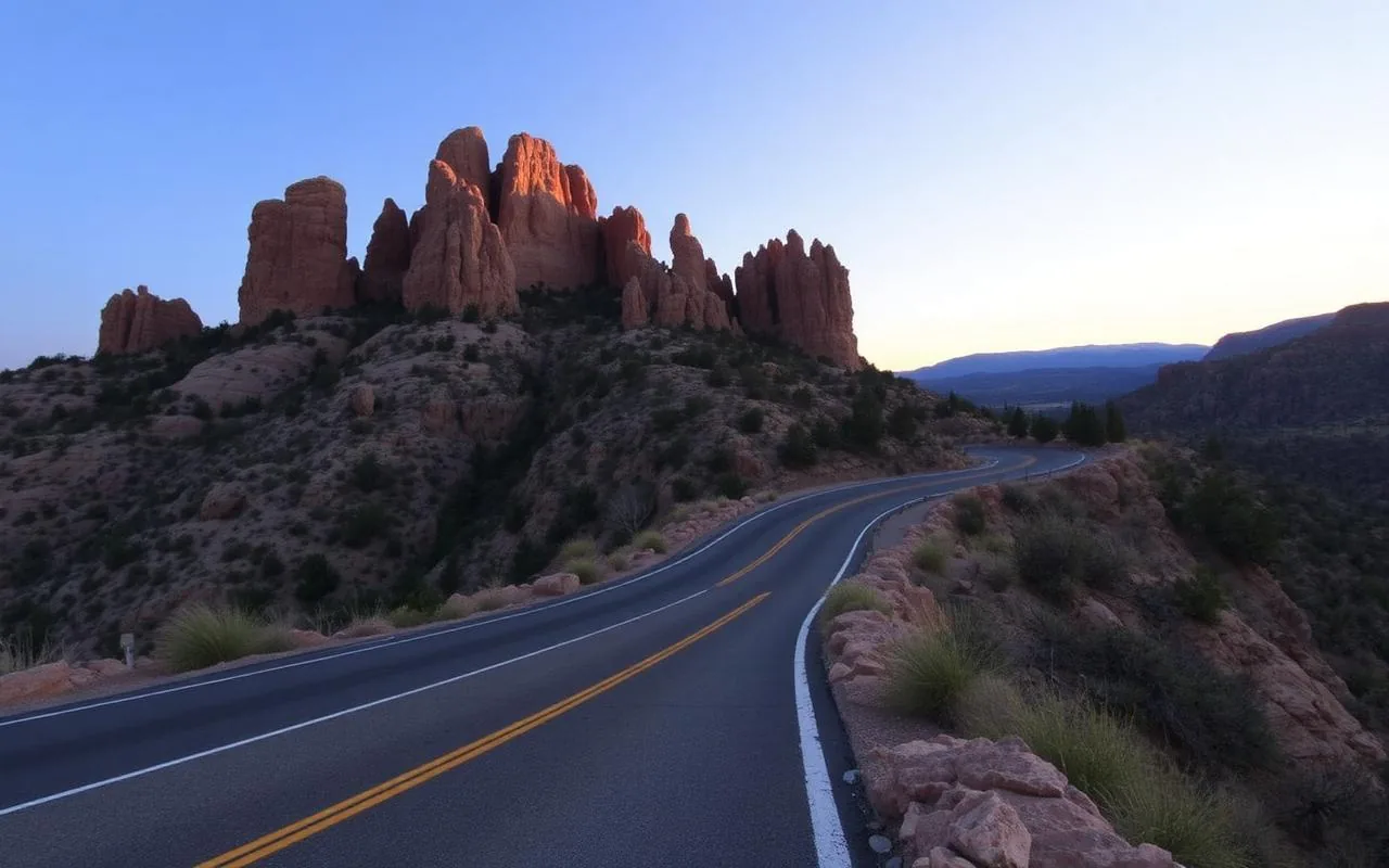
Mount Graham is the highest peak in southeast Arizona — 10,720 feet — and the centerpiece of the Pinaleño Mountains, a sky-island range surrounded by Sonoran Desert in every direction. From the town of Safford at the base, the Swift Trail Parkway (Highway 366) climbs over 7,000 vertical feet in 35 miles of paved (and then gravel) road. It is genuinely one of the most dramatic ecological gradients in North America.
Safford itself is a small agricultural town 3 hours east of Tucson and 3 hours southeast of Phoenix. It's the practical base for this loop.
The Swift Trail (Highway 366)
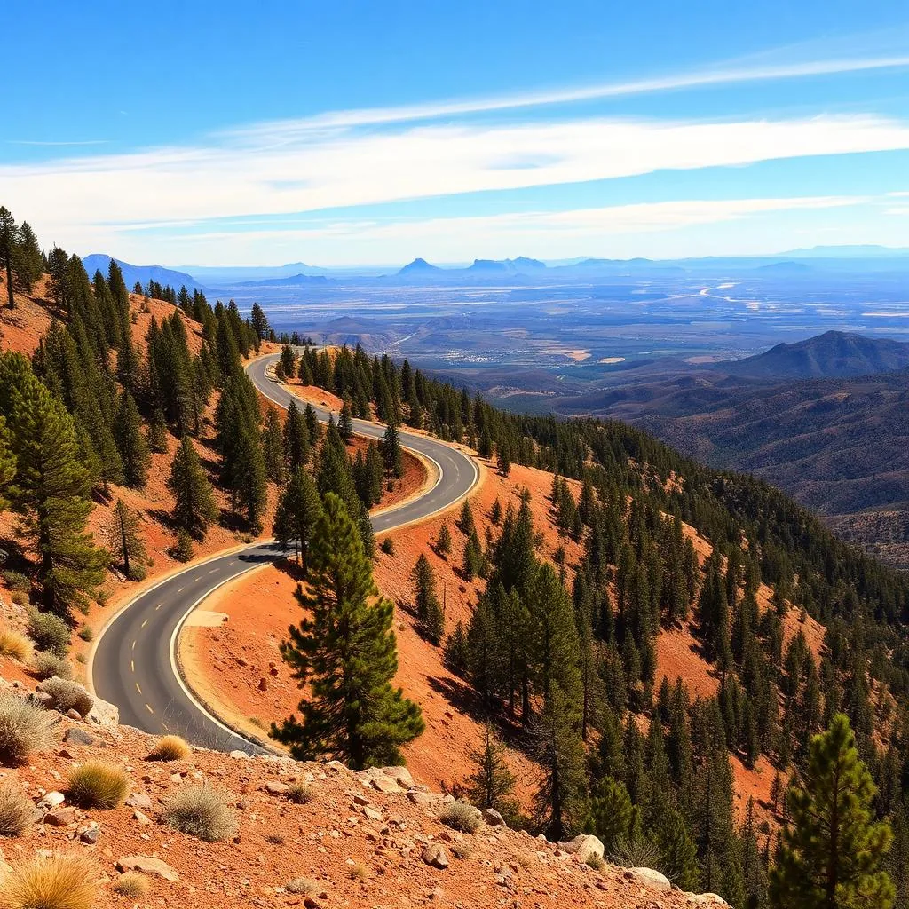
The Swift Trail Parkway is the access road for the entire mountain. The first 28 miles are paved; the last 7 miles to Riggs Lake at the top are well-graded gravel suitable for any vehicle in dry weather. The drive takes 90 minutes one-way at the speed limit, which you will not be driving — you'll stop constantly. Bring a full tank of gas from Safford; there's no fuel on the mountain.
What to stop for, going up
Noon Creek Picnic Area (mile 7) is the first real stop — oak woodland with picnic tables. Wet Canyon (mile 14) is a small year-round stream you can wade in. Shannon Campground (mile 22) is a Forest Service campground at 9,100 feet, prime tent-camping country in summer. The Bear Wallow Trailhead (mile 25) is the most popular short hike (1.5 mi out-and-back, easy).
The summit area: Riggs Lake & Hospital Flat
Riggs Lake (mile 35, end of road) is an 11-acre stocked trout lake at 8,800 feet — campground, picnic tables, kayak-friendly. The actual summit of Mount Graham is closed to the public (it hosts the Mt. Graham International Observatory and the protected red-squirrel habitat), but you can hike the Heliograph Peak Trail (3 mi round trip, 700 ft gain) to a fire lookout with 360-degree views.
Roper Lake & the hot springs (back in the valley)
On your way back down, stop at Roper Lake State Park, 10 minutes south of Safford. It has a 30-acre fishing lake and — the local secret — a small natural hot-spring tub on the lakeshore that's free with park admission ($10). It seats 4–6 people, runs about 105°F, and is one of the more pleasant surprises in southern Arizona.
- Swift Trail Parkway (35 mi paved + gravel, 90 min one-way)
- Wet Canyon (mile 14, wade in a real stream)
- Shannon Campground (9,100 ft, prime summer camp)
- Heliograph Peak Trail (3 mi to fire lookout)
- Roper Lake State Park hot tub (back in the valley)
When to go
May through October is the season for the upper mountain — the Swift Trail closes above mile 19 from November 15 to April 15 for elk and red-squirrel habitat. Summer is the standout: 85°F in Safford but 70°F at the top. Bring layers — the temperature drops 30+ degrees from the base to the summit.
Frequently asked questions
Can you drive to the top of Mount Graham?
You can drive to Riggs Lake at 8,800 ft on Highway 366. The actual summit (10,720 ft) is closed to the public for observatory and red-squirrel protection.
How long is the Swift Trail drive?
35 miles one-way, about 90 minutes without stops. Plan a full day to make it worthwhile.
When is the Swift Trail open?
Mile 19 to the top is closed November 15 – April 15. The lower section stays open year-round.